
Ask Tessera Quest.
Tessera Quest turns large-scale well, production, subsurface and development data into answers in seconds. Ask in plain language; Quest pulls the wells, runs the analysis and shows its work on the map. No raw well lists leak, ever.
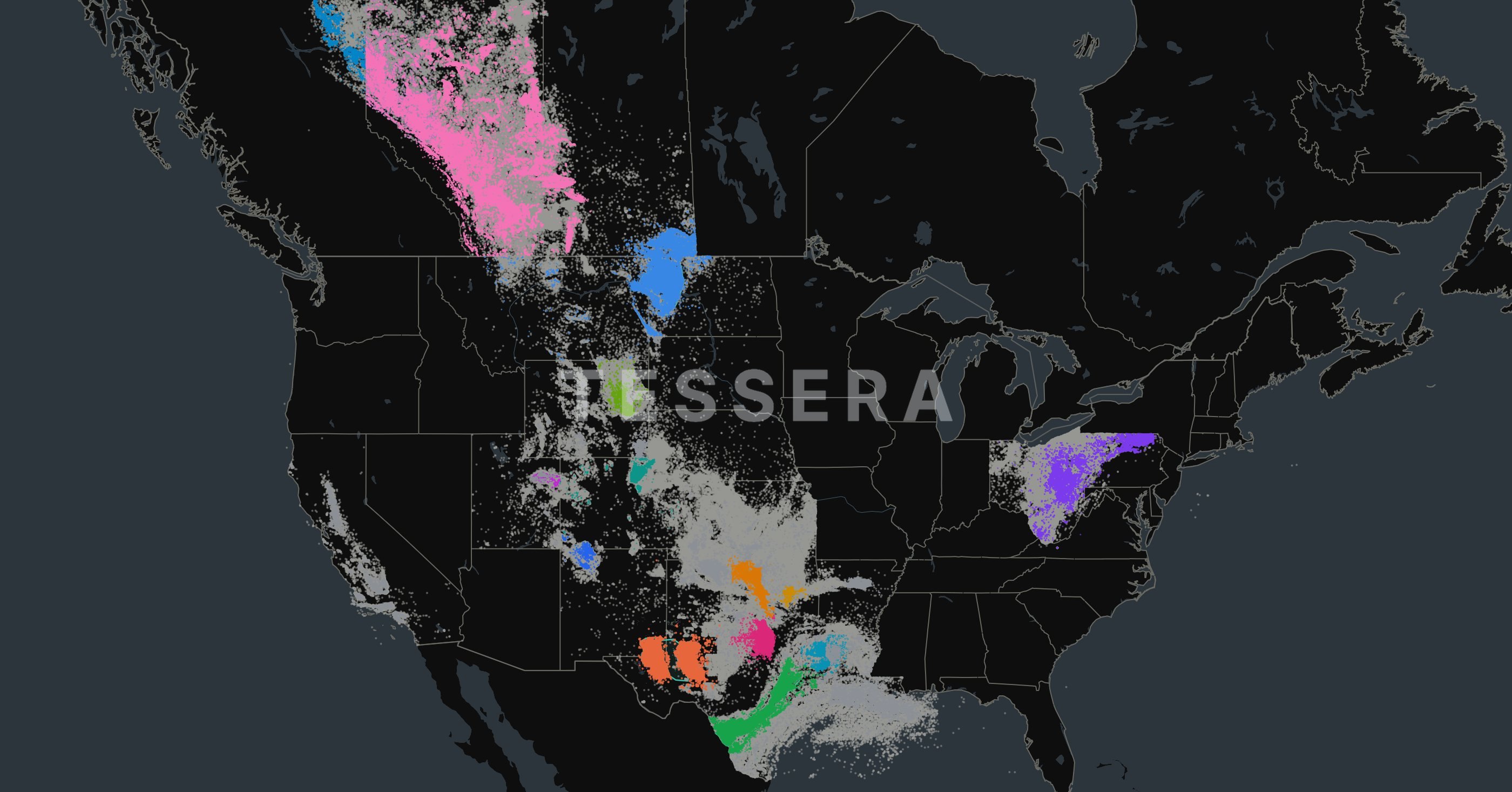
Start from the question.
The machinery stays underneath. You ask; Tessera pulls the wells, runs the numbers and shows the map.
- 01Compare 10,000 ft plus Exxon wells in Lea County against surrounding operators and normalize for rock quality.
- 02Which of our 2025 wells are underperforming the model, and what do they have in common?
- 03Walk me through the inventory in T18S R34E.
- 04Build the economics for a six-well Wolfcamp A pad here.
One question, start to finish.
Filtered 412 ExxonMobil horizontals over 10,000 ft in Lea County, 2019 to 2025, and 1,684 offset wells from other operators within 3 miles.
After normalizing to per-foot rates and adjusting for rock quality (thickness, TOC, porosity proxies), ExxonMobil's 12-month oil is 8.6% above offsets in Wolfcamp A and 2.1% below in 3rd Bone Spring Sand.
The Wolfcamp A gap is explained mostly by completion intensity (about 5 points) and tighter parent-child timing (about 3 points). Map updated with both cohorts.
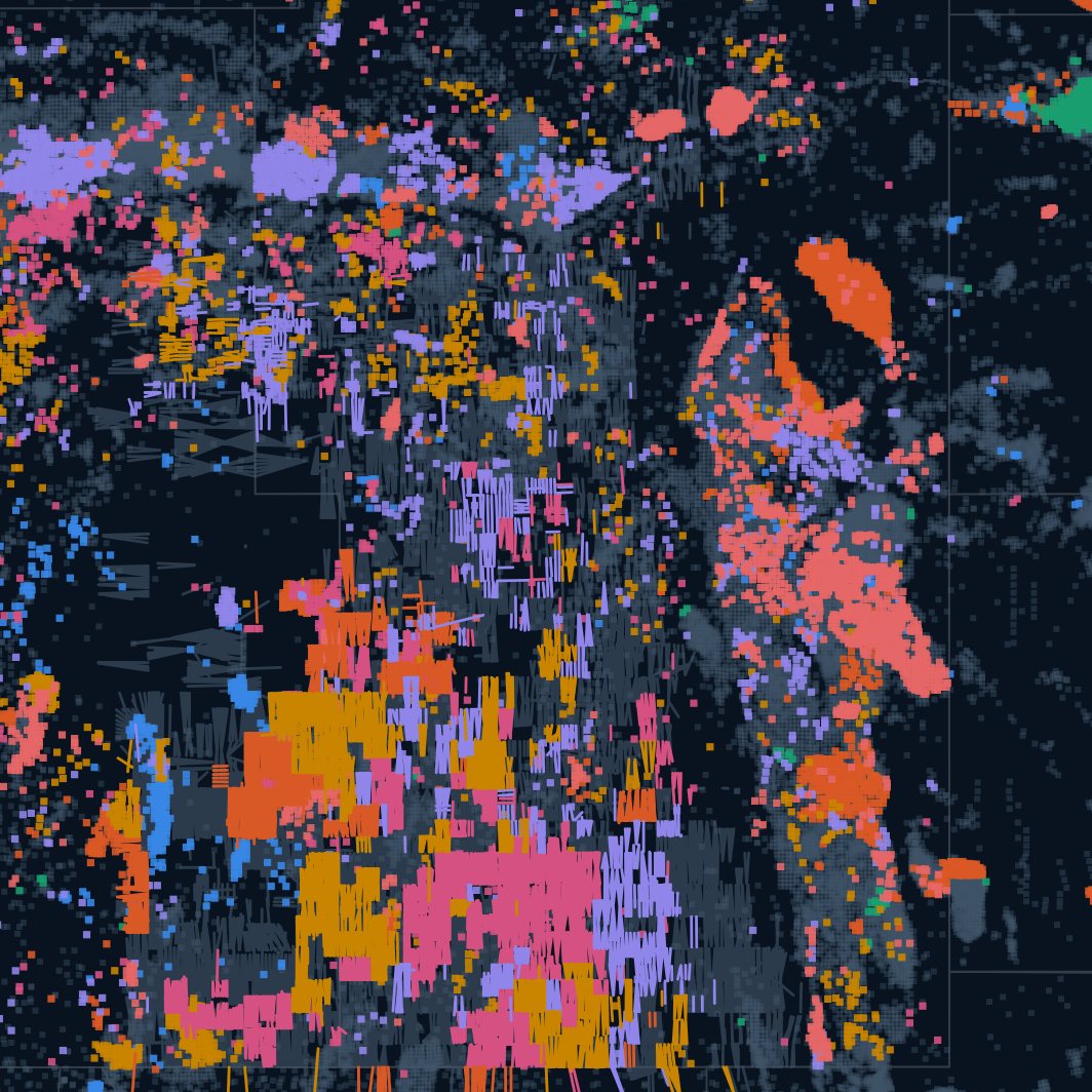

This is the product, not a mockup.
Every picture below is Tessera Quest running on Tessera Data: the map, the charts under it, production and the table behind them.
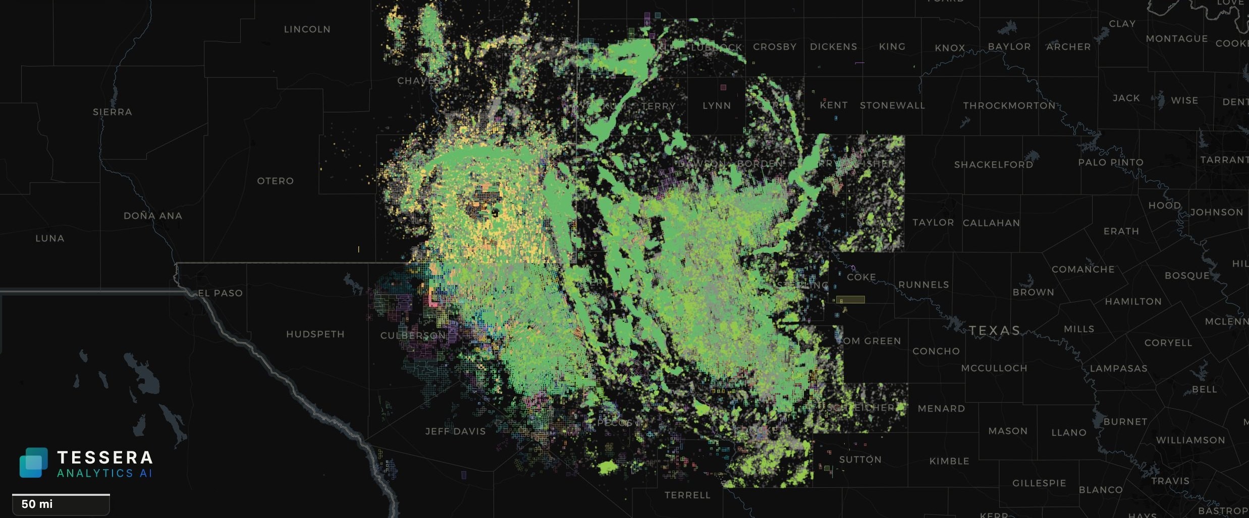
The whole basin in one view. More than 300,000 Permian wells colored by status: producing in green, permits in yellow, plugged in grey.
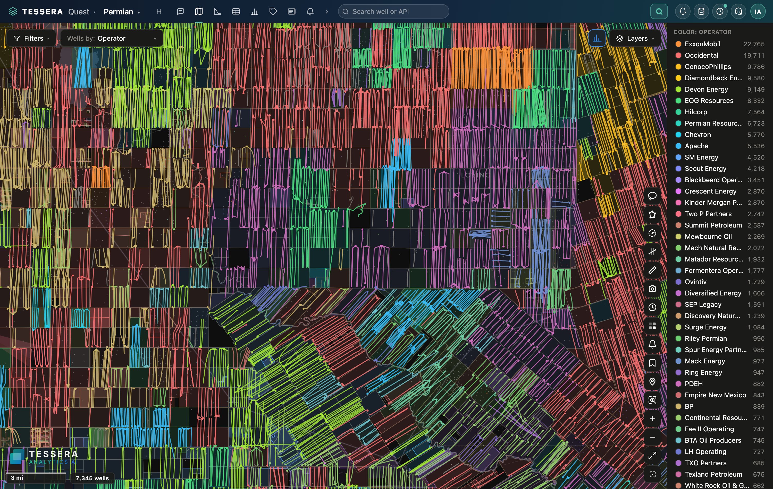
Zoom from the basin to one section. Every lateral colored by operator, zone, status or any attribute Tessera computes.
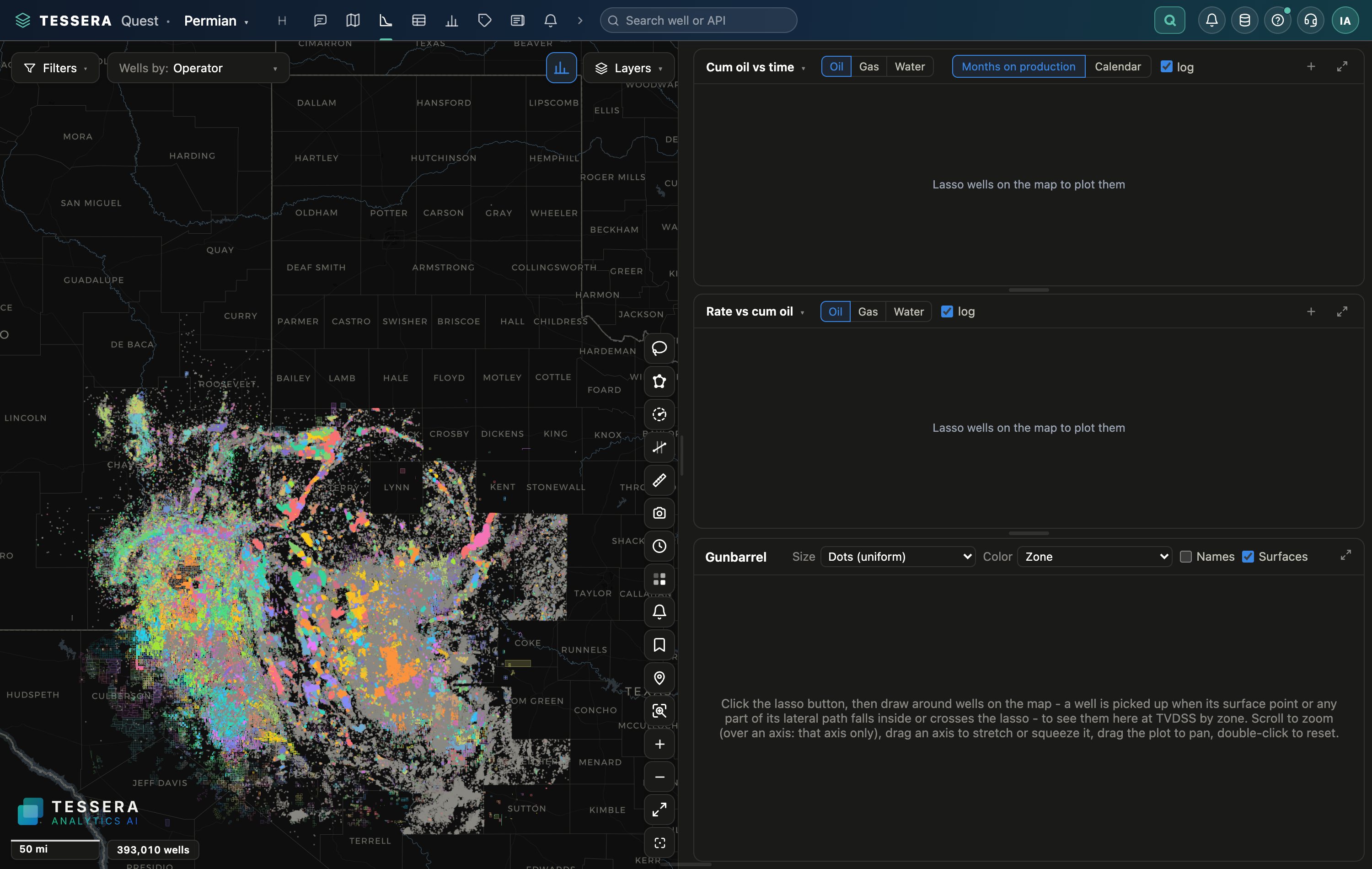
Production for the wells on the map: rate over time, shares by operator, rankings by county, type curves for any selection.
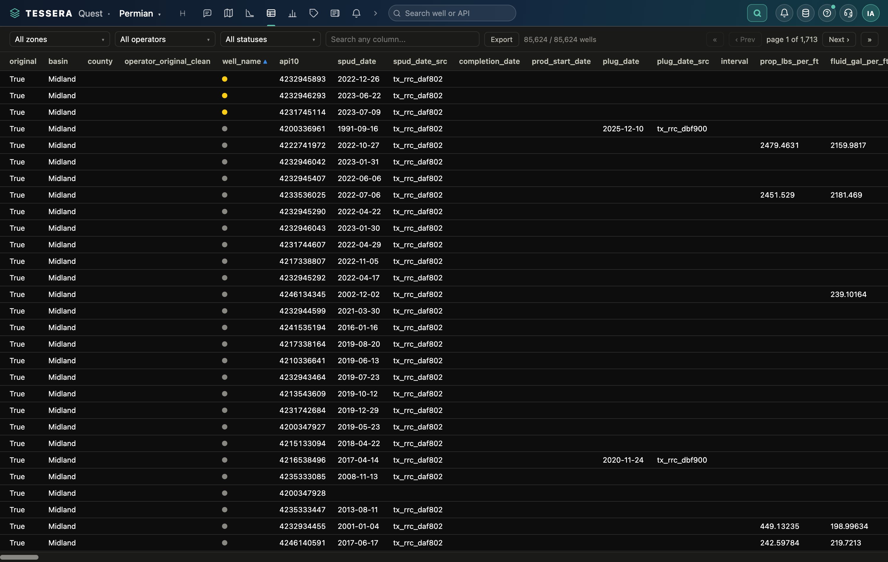
The table behind the map. Sort it, filter it, export it, or send the rows straight back to the map.
Capabilities
Grounded, not generic
Every answer is computed from live session data through read-only tools, so the assistant cannot make numbers up.
Knows the platform
It can take you to the right module, check whether prerequisites are met and start a playbook.
Aggregates only
A three-layer guard means it summarizes, and never outputs raw well rows or identifier lists.
Works for non-engineers
An analyst, a landman or an investor gets the same answer an engineer would, without learning the tooling.
See your wells and basin in Tessera.
A 30-minute walkthrough on your acreage, your operators or your deal. No slide deck, just the platform.